What did the Vikings think the Americas looked like?

I seem to remember coming across a map somewhere about what the Vikings believed the Americas to look like, it depicted about four continents with the bottom one connecting to Africa, the northern most one being Greenland and the Canadian islands and the middle two are from Newfoundland and Labrador west and New England west. I'm looking for names for a timeline I'm looking into and thought I'd try and ask around in case anyone's seen the same map.

Beyond that if you've got another version or any related information I'm eager to hear it.
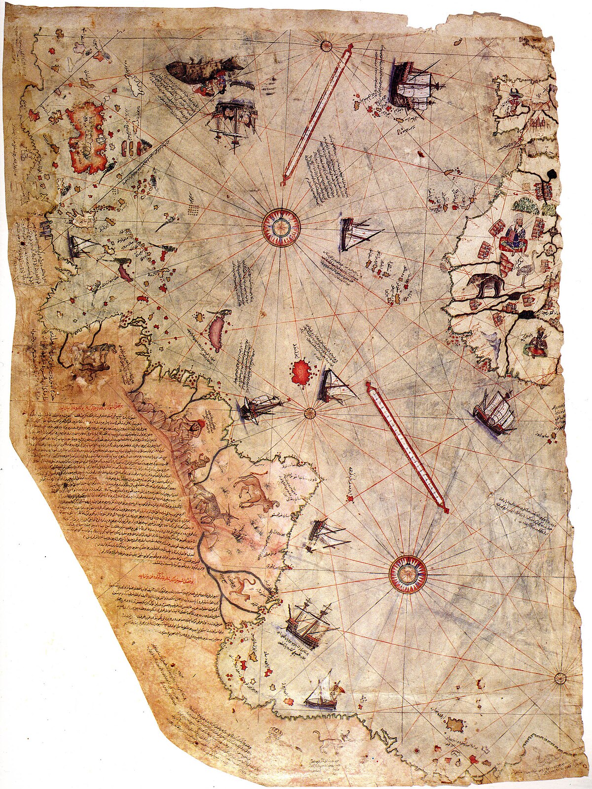
 
Maps, like you are imagining, where not really being used back then. Most of the 'directions' would have been told orally, as part of very old maritime traditions. Honestly, if you wanted to sail to Vinland, you'd have grabbed someone who'd already been there.

Edit: And yeah, that map above is almost certainly a fraud.
 
Last edited:
I think it was assumed to be an island, or a number of islands. The Norse of Greenland hunted narwhal and walrus in Northern Canada, and smelted iron there. They would have been familiar with some of the islands there. i think they would assume Vinland was more of the same.
 
Going by the sagas, the Vikings thought of North America this way: after you sail west a few weeks from Greenland, you come to a coastline that's all rocks. Turn south and sail south, and after a few days you'll come to a coast that's covered in forests. Keep sailing south a few days, and you'll get broadleaf forests where berries and wild grapes grow. Be careful because this land is full of people armed with bows and arrows and they don't take too kindly to Viking practices such as murdering strangers randomly.
 
Going by the sagas, the Vikings thought of North America this way: after you sail west a few weeks from Greenland, you come to a coastline that's all rocks. Turn south and sail south, and after a few days you'll come to a coast that's covered in forests. Keep sailing south a few days, and you'll get broadleaf forests where berries and wild grapes grow. Be careful because this land is full of people armed with bows and arrows and they don't take too kindly to Viking practices such as murdering strangers randomly.
Yes, it seems that the map was posing the idea that these different lands were considered continents of their own.
 
Top