Unbuilt Canada

Obviously inspired by Unbuilt Britain, a thread for unbuilt "stuff" in Canada, post-1900.

To get things started:
The Georgian Bay Ship Canal would in essence have created a shipping route up the Ottawa Valley direct into the upper lakes.
8030125475_05b021ee4a_c.jpg

Scale of the project and finances aside, wow that really does make for a different country... We're talking a project that was most realistic around 1904, that would have resulted in a lot of trade largely bypassing southern Ontario.

I've gotta admit that there is something really compelling to me about the image of a laker passing directly behind Parliament.
 
How about the "Mid-Canada Corridor" plan from the 1960s?
feature7.jpg

It was an idea to encourage development in the more northerly areas of the provinces and the southern parts of the territories. It's something I honestly think would have greatly benefitted the country if it had been implemented. It provides a bridge to the farther northern parts of the country, which would automatically have the effect of making far northern communities more accessible and integrated with easier access to goods and services at more reasonable prices, as well as making it much easier to access the wealth of natural minerals our country has to offer. Having developed infrastructure and communities in northern Manitoba/Saskatchewan/Alberta and the southern Yukon/NWT would likely make a lot of resource extraction economically viable where it wasn't before.
 
Port Nelson, Manitoba: project to build a port on Hudson Bay in order to encourage northern development, interrupted by WW1. Essentially Churchill before Churchill was built, especially as the Hudson Bay Railway into Churchill was initially begun for the Port Nelson project.
 
Federal Avenue in Toronto is one of my real favorites:
fedave.jpg

A grand avenue from the main entrance of Union Station into what became Nathan Phillips Square and was pretty much always slated for eventual slum clearance.
Picture it with one of the more traditional versions of a new city hall / court house at the north end

90fa-pt344_c_5-500x530.jpg
1700362600094.png

And the union station version of a new hockey arena at the south (yeah, I know, visions of Madison Square Gardens, but the proposals we had basically respected the station)
20140221-ACC-Union.jpg
1700362695319.png
 

Obviously inspired by Unbuilt Britain, a thread for unbuilt "stuff" in Canada, post-1900.

To get things started:
The Georgian Bay Ship Canal would in essence have created a shipping route up the Ottawa Valley direct into the upper lakes.
View attachment 869905
Scale of the project and finances aside, wow that really does make for a different country... We're talking a project that was most realistic around 1904, that would have resulted in a lot of trade largely bypassing southern Ontario.

I've gotta admit that there is something really compelling to me about the image of a laker passing directly behind Parliament.
I picked up a book on the canal over the summer but haven't cracked it open yet. Got the impression that it was politics, rather than economics or engineering, that scuppered it.
 
Image-1-Alaska-Alberta-Rail-Corridor.jpg

I present the proposed Alaska 2 Alberta Railway
A 2600 km railway from Anchorage To Fort Mc Murry Alberta that's up in the air because of Alleged Kickbacks through the loan company and the Ceo of the railway company

 
in the early decades of the 20th century there was a proposal to dam Burrard Inlet in Vancouver Harbour at the Second Narrows, and make the entire inlet including Indian Arm into a fresh water basin. This would be connected to the Fraser River by canal through Coquitlam.
9fcf70cb-ea2a-43fa-a0e8-f7fd03319307-MAP11.jpg


Oooooooh a topic I like about Canada's what ifs. I'm in. 🙂
Château_Prince_Rupert.jpg

This is the Grand Trunk Pacific's proposed hotel in Prince Rupert, when they were planning on making Prince Rupert into a major city. It would never rival Vancouver, but I can see Prince Rupert being a substantial center, and this could be one of its flagship buildings. 🙂
 
The Toronto Eastern Railway is a pet favourite of mine. An electric high speed dedicated commuter railway running through the CBDs of the eastern GTA would be really really really neat. Shame it pre-empted the commuter economy by like 70 years.
I'm trying to find a map of that and can't find one. I'd like to know what the route would have been, honestly, and see how it would have effected what the east side of Toronto would look like.
 
Another from the "I really wish Toronto had actually built this" list, the remarkable project that was Harbour City:

20100916-harbour_city_road.jpg

Turn the small Toronto waterfront airport and another 510 acres of land reclaimed from Lake Ontario into a new mixed-use neighborhood on the water, with every unit having water frontage. THIS would have absolutely changed the face of downtown Toronto, and probably inspired similar projects in other parts of Canada.
 
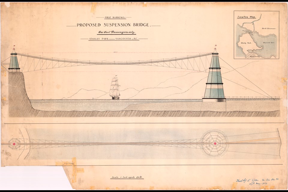
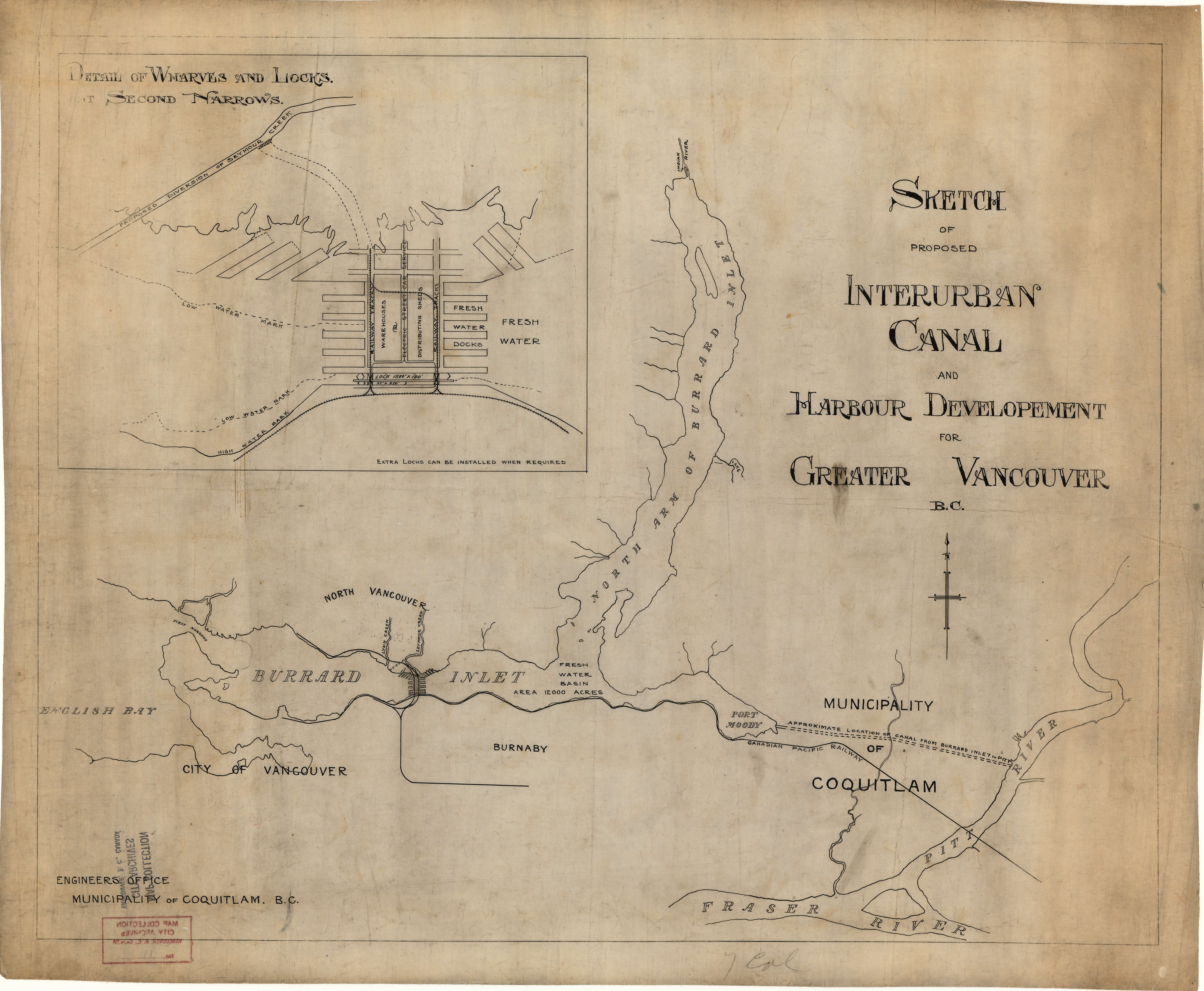
On the Mid-Canada Corridor idea (which I agree is a very interesting idea that if it had been implemented would likely have solved a few problems Canada is grappling with today), I think the best way to proceed on that front is to start with expanding the intermediate communities that would be the bases of the project. Whitehorse, Fort Smith, Fort McMurray, Flin Flon, Thunder Bay, Timmins or Val D'Or (or both) and Labrador City would be the logical places to start, as well as Prince Rupert, Sudbury and North Bay, and I'd also make for a highway connection to Churchill and build the Port Nelson project.

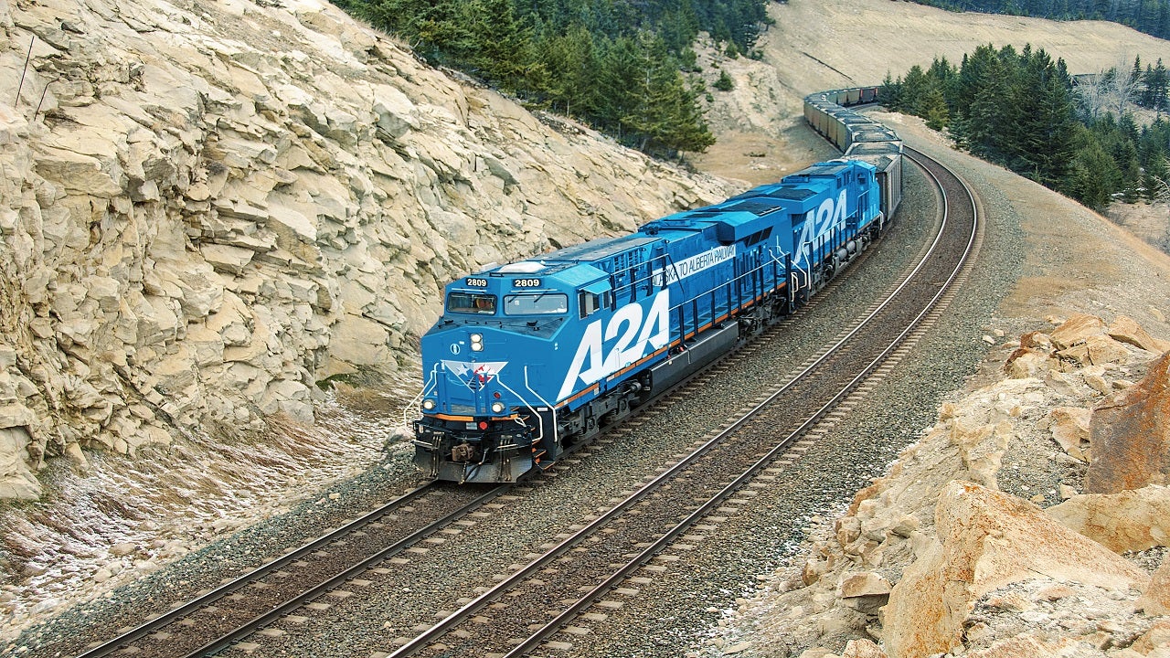
This would be a HUGE project, and even with the developments there you need to make a reason for people to move up to these places - but with the reasons many of these places exist (the iron mines of Labrador and northern Quebec, for example) it would be logical to use these resources as a base to get new economic life to these areas, such as developing the Labrador City area into a center for steel manufacturing. The Quebec and Manitoba hydroelectric projects would be copied by Ontario, while the Fort McMurray and Fort Smith areas would be centered on taking oil and making it into the refined products that come from oil - motor fuels, plastics, chemicals, oils and lubricants. (This also removes the need for oil pipelines to Kitimat, which was a major portion of the plan (and environmentally a terrible idea). The 1960s and 1970s plans centered on rail lines (which is wise), but I'd also turn the Yellowhead Highway into a major corridor for this beyond Edmonton by keeping it further north, following the Corridors mentioned in the project. Similar to this, building this would be impossible without fully bringing the First Nations peoples on board with this - ideally, they're a part of the planning process, get first dibs on jobs, access to resources to those who want to run their own businesses in the new areas and hire as many of the others as possible to go to trades schools and, once trained and educated, provide them with a lifetime worth of work to build it all.

Of course, you have to develop this properly as well, avoiding many of the environmental problems that often happen with these sorts of projects.
 
I'm trying to find a map of that and can't find one. I'd like to know what the route would have been, honestly, and see how it would have effected what the east side of Toronto would look like.
I'm not sure of the entire route, but in Oshawa it basically ran along Bond Street.
 
I'm not sure of the entire route, but in Oshawa it basically ran along Bond Street.
Looking at the history of it, apparently the Whitby to Bowmanville section was built and ready to be used but never was. I'd guess it would be a very interesting route if it was built in a grade-separated way and stayed that way, but with Oshawa and Whitby's development I doubt that would ever be. But it does make me wonder what could be if the line (and the Oshawa Railway) survived long enough to become a rapid transit line. Does the (under construction now) Oshawa Central station get built and this line becomes a surface rapid transit route as far as Taunton Road?

On a similar front: If we have Ottawa grow enough to justify it, would that be enough for Canadian Pacific to keep its northern main line to Ottawa via Peterborough, Tweed, Sharbot Lake and Perth operating? It was abandoned between Glen Tay and Havelock in the 1970s but that today, if kept in good nick, would be a hella good passenger rail line for Toronto-Ottawa service, as it shaves 50+ kilometres off of the Lakeshore Route via Kingston.
 
Last edited:

Obviously inspired by Unbuilt Britain, a thread for unbuilt "stuff" in Canada, post-1900.

To get things started:
The Georgian Bay Ship Canal would in essence have created a shipping route up the Ottawa Valley direct into the upper lakes.
View attachment 869905
Scale of the project and finances aside, wow that really does make for a different country... We're talking a project that was most realistic around 1904, that would have resulted in a lot of trade largely bypassing southern Ontario.

I've gotta admit that there is something really compelling to me about the image of a laker passing directly behind Parliament.
The problem is that there's no reason to bypass those areas, since those are and have always been the heartland of Canada. The Canadian Shield means that there isn't a huge amount to do anywhere in the country aside from the St Lawrence Valley and the Ontario Peninsula until there's significant population in the Prairies.
 

Attachments

  • canadian shield.jpg
    canadian shield.jpg
    553.5 KB · Views: 129
The problem is that there's no reason to bypass those areas, since those are and have always been the heartland of Canada. The Canadian Shield means that there isn't a huge amount to do anywhere in the country aside from the St Lawrence Valley and the Ontario Peninsula until there's significant population in the Prairies.
I imagine the plan was to make much quicker and easier to allow grain ships headed for Europe from Thunder Bay to cut the corner by using Lake Nipissing, the Portage route and the Ottawa River to shave hundreds of kilometers off of the journey, which if you're wanting to improve the economics of such shipping is a very good idea. By the early 20th Century (when Canada had three transcontinental railroads either fully operational or nearing completion, and two of them were financially struggling) the idea didn't make a lot of sense from an economic point of view. But make it happen as part of the building of the CPR and things may end up very differently.
 
Federal Avenue in Toronto is one of my real favorites:
View attachment 870138
A grand avenue from the main entrance of Union Station into what became Nathan Phillips Square and was pretty much always slated for eventual slum clearance.
Picture it with one of the more traditional versions of a new city hall / court house at the north end

View attachment 870139View attachment 870141
And the union station version of a new hockey arena at the south (yeah, I know, visions of Madison Square Gardens, but the proposals we had basically respected the station)
View attachment 870140View attachment 870142
For these two, I was always partial to the variant of the Federal Avenue idea that was a part of the 1930 roadway improvement plan:

8e55-s0060_it1837_pp0050-500x297.jpg

This way you'd surely get that open space in the middle of what is marked here as Cambrai Avenue eventually being made into a park, and one idea I had was that when the Toronto Dominion Centre is built (1960s, and it would be immediately to the east of Cambrai) the elevated plaza the TD Centre is built on is extended over Cambrai, creating a much larger park with the roads running underneath it. Ideally many of the Art Deco buildings envisioned would survive the bank buildings all going up along Bay in the 1960s and 1970s, too....

I also have to kick in the Ataratiri development. IMO this would have been much, much better than the West Don Lands that ended up happening IOTL:

Cd2wUlzW0AArzGX.jpg_large.jpg
 
Last edited:
I imagine the plan was to make much quicker and easier to allow grain ships headed for Europe from Thunder Bay to cut the corner by using Lake Nipissing, the Portage route and the Ottawa River to shave hundreds of kilometers off of the journey, which if you're wanting to improve the economics of such shipping is a very good idea. By the early 20th Century (when Canada had three transcontinental railroads either fully operational or nearing completion, and two of them were financially struggling) the idea didn't make a lot of sense from an economic point of view. But make it happen as part of the building of the CPR and things may end up very differently.
The Georgian Bay Ship Canal and the latter two trans-continentals are related phenomena (as was the Toronto Eastern Railway for that matter). The excessive optimism of the "Wheat Boom" period had many Canadians and foreigners alike accepting projections of Canada having 100 million people by 2000 at face value. Accordingly, government and investors were both more than willing to build for "anticipated needs" that seem completely absurd in retrospect. Borden and Meighen had to work miracles during WWI to resolve the transportation bubble.
 
Top