Just remove them yourself, it's not that hard.Does anyone have this map without the country colors?
View attachment 905914
You are using an out of date browser. It may not display this or other websites correctly.
You should upgrade or use an alternative browser.
You should upgrade or use an alternative browser.
The NextGen OTL Worlda Series
- Thread starter hadaril
- Start date
British Raj, or "How I learned to hate colonialism and enjoy simple borders"

Last edited:
I'm not sure if it's appropriate to show most princely states as political entities on the same level as the provinces. I've done some reading on this in the past to try to make sense of what was going on there, although right now I'm mostly working off of a Wikipedia article so take all this with a grain of salt. But anyway, my understanding is that most princely states were administered under residencies or agencies that were subordinated in turn to provincial governments. The exceptions to this (again, per Wikipedia and my memory) were 1) Hyderabad, Mysore, Jammu & Kashmir, Baroda, individual princely states that had direct relations with the Imperial government, and the Rajputana and Eastern States Agencies, which were independent of any provincial government. In the 1930s, apparently pretty much all of the princely states were separated from provincial authority, but were still mostly administered as part of broader agencies like Rajputana and the Eastern States.British Raj, or "How I learned to hate colonialism and enjoy simple borders"
View attachment 906668
The problem is that the princely states were, I think, considered separate from the provinces in a legal sense. The implications of that are honestly beyond me, but in my opinion most princely states should be considered second-level administrative divisions, so if they're shown at all they should be shown in that sense. This does raise the question of whether a WorldA map of the Raj should also show provincial districts, which is a whole other can of worms.
Here are some pretty detailed resources on historical India:
https://dsal.uchicago.edu/reference/schwartzberg/
https://dsal.uchicago.edu/reference/gazetteer/
The boundaries are two different colors, you just need to zoom in to see itI'm not sure if it's appropriate to show most princely states as political entities on the same level as the provinces. I've done some reading on this in the past to try to make sense of what was going on there, although right now I'm mostly working off of a Wikipedia article so take all this with a grain of salt. But anyway, my understanding is that most princely states were administered under residencies or agencies that were subordinated in turn to provincial governments. The exceptions to this (again, per Wikipedia and my memory) were 1) Hyderabad, Mysore, Jammu & Kashmir, Baroda, individual princely states that had direct relations with the Imperial government, and the Rajputana and Eastern States Agencies, which were independent of any provincial government. In the 1930s, apparently pretty much all of the princely states were separated from provincial authority, but were still mostly administered as part of broader agencies like Rajputana and the Eastern States.
The problem is that the princely states were, I think, considered separate from the provinces in a legal sense. The implications of that are honestly beyond me, but in my opinion most princely states should be considered second-level administrative divisions, so if they're shown at all they should be shown in that sense. This does raise the question of whether a WorldA map of the Raj should also show provincial districts, which is a whole other can of worms.
Here are some pretty detailed resources on historical India:
https://dsal.uchicago.edu/reference/schwartzberg/
https://dsal.uchicago.edu/reference/gazetteer/
I know this might be difficult for someone to put together, but I really do think it would be useful to have a 1000 BCE map (which is around the start of the iron age).
I know this might be difficult for someone to put together, but I really do think it would be useful to have a 1000 BCE map (which is around the start of the iron age).
There isn't one for 1000 BCE, but there is an (outdated) map for 1350 BCE.
I know there isn't. I was just saying I hope there could be one in the future, as it would fill that large gap between 1350 and 323 BCE.There isn't one for 1000 BCE, but there is an (outdated) map for 1350 BCE.
The subtitle "The First Societies" is rather amusing for this late a date.There isn't one for 1000 BCE, but there is an (outdated) map for 1350 BCE.
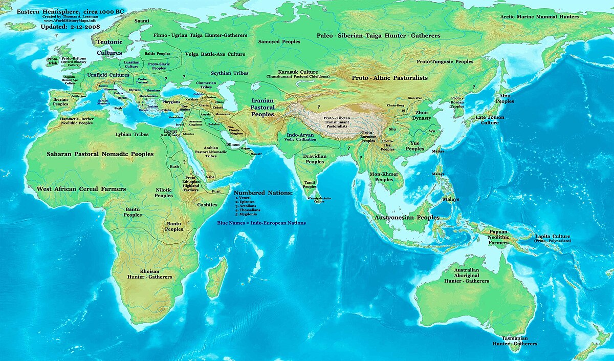
not very.How accurate do you think this map is?
not going to nitpick the whole thing but just to point out the first couple things that immediately stand out as egregious
Israel was not such a large kingdom, it was at best a loose confederation of tribes. So "Israelite Poleis" would have been more accurate
In North Africa, I have never in my life heard of the word "Hammetie" and a quick google returns nothing either. Is this referring to the debunked pseudo-scientific category of "Hamitic"?
It's Hammitic, supposedly.
As a nerd with some knowledge, I will try to explain:
So basically there are the Chadic languages in Sahel, formerly called "Hamitic."
And there was a theory that those people lived in North Africa before migrating to Sahel, so.
Though iirc most newer theories put their homeland in Sudan and have them migrate westwards from there.
I'm afraid it's deeper than that, "Ham" refers to all North and East Africans, not just Chad. the "scientific" part of the pseudo-science is the real common AfroAsiatic linguistic connection, however the Semitic branches are deliberately left out since the racial cartographers needed to have Jews and Egyptians/Ethiopians in separate categories, inspired by Biblic knowledge that the first three races came from Ham, Shem, and Japhet (the sons from Noah's Ark).It's Hammitic, supposedly.
As a nerd with some knowledge, I will try to explain:
So basically there are the Chadic languages in Sahel, formerly called "Hamitic."
And there was a theory that those people lived in North Africa before migrating to Sahel, so.
Though iirc most newer theories put their homeland in Sudan and have them migrate westwards from there.
Ah I see. I mentioned the racist BS just to illustrate how bad the theory was and why it is obviously debunked now.I am well aware. I was just trying to not mention the racist bs at all.
They are, but I was saying I think the provincial boundaries should take precedence over the princely state boundaries, rather than the other way around as in your map.The boundaries are two different colors, you just need to zoom in to see it
They are, but I was saying I think the provincial boundaries should take precedence over the princely state boundaries, rather than the other way around as in your map.
Generally speaking Princely States are considered to be a kind of Protectorate, so they'd use a different kind of border even if in legal theory they had ties to the provinces; basically when doing this you have to consider the de facto as well as de jure, it's why even though from a purely legal standpoint several of the administrative divisions of China and Russia are autonomous I don't show them as such as they've never had that autonomy, never will have it and are de facto centralized provinces.
I like your choice of colours. Do you have a scheme you're using?British Raj, or "How I learned to hate colonialism and enjoy simple borders"
View attachment 906668
Share: