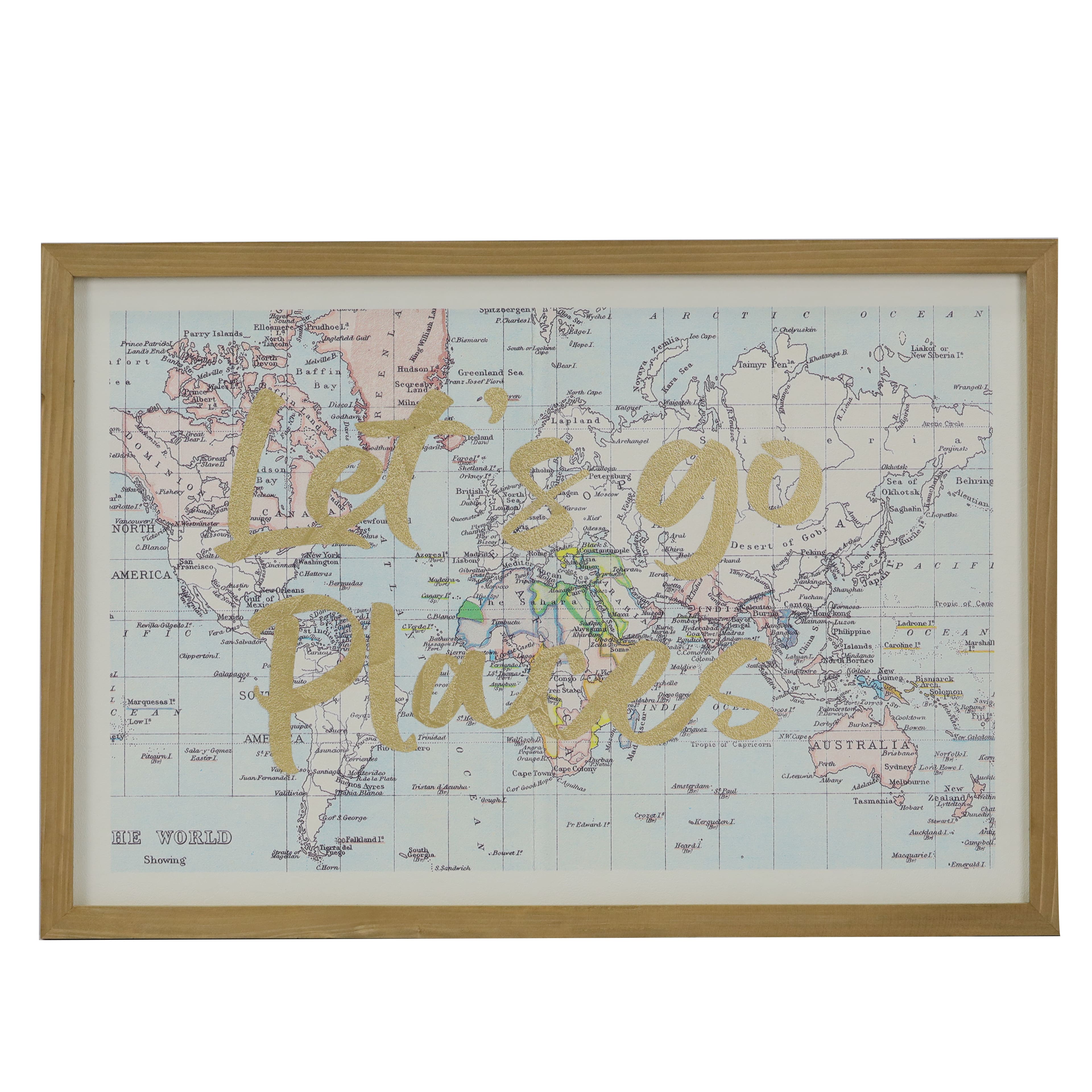
The top map is from between 1884 and 1919 as it shows New Guinea divided between the Netherlands, Britain and Germany. The bottom map is from between 1898 to 1903 as it shows Panama as part of Colombia and Puerto Rico as a US territory. I don't see Nazi Germany on the top map. I think I make out the pre-1919 borders of Imperial Germany.I worked at Michaels up until recently, and I remember seeing this ✨aesthetic✨ wall sign in store and being quietly horrified that they'd used a map with Africa carved up and the Congo Free State visible at center:
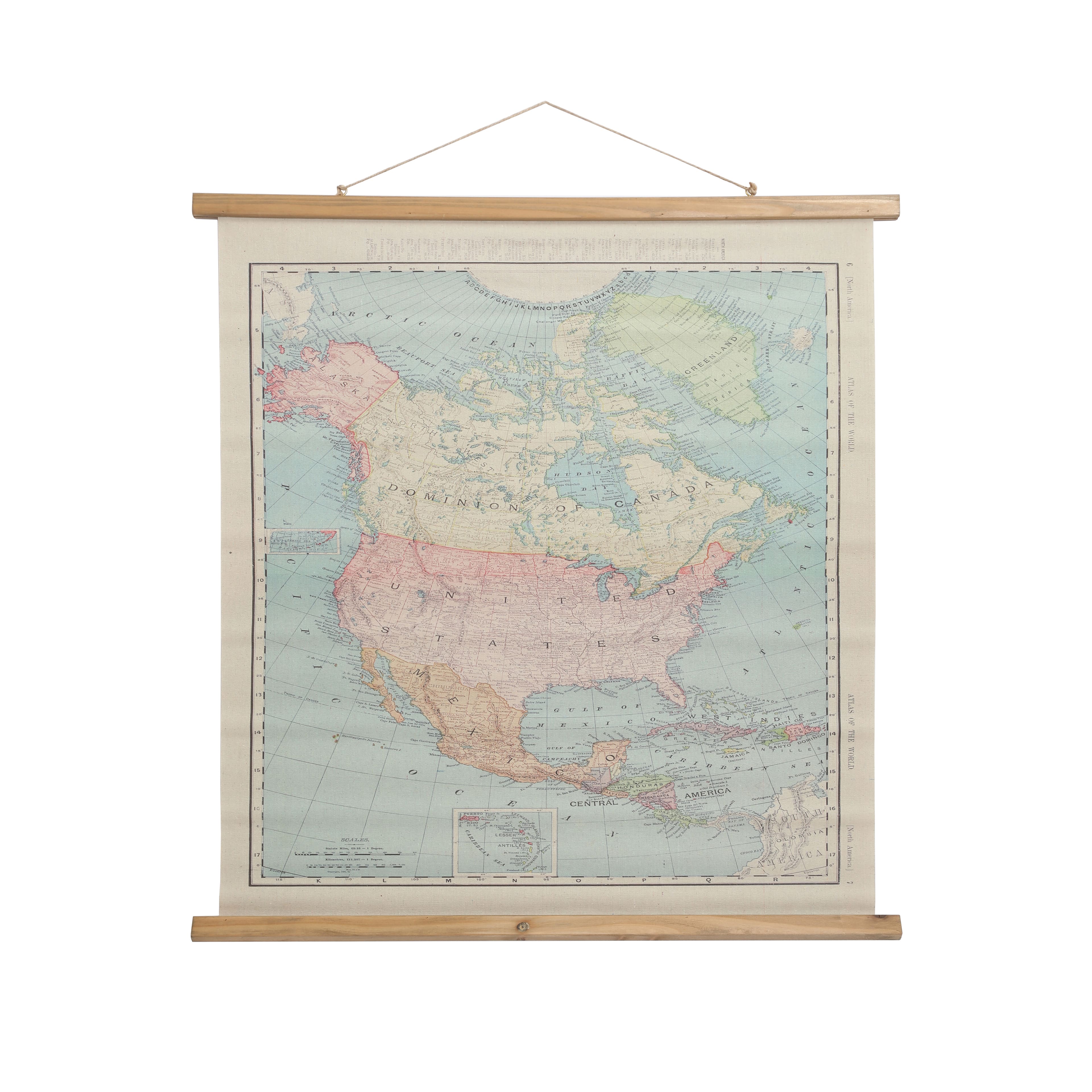
Also of interest is this "map banner" depicting North America somewhere between 1898 and 1905 (note the old districts of the NWT in the Canadian prairies):
But prominently depicting Nazi Germany on a product... Is it too much to ask for any historical literacy at all from their design team?
Not really "horrible" maps, just old.